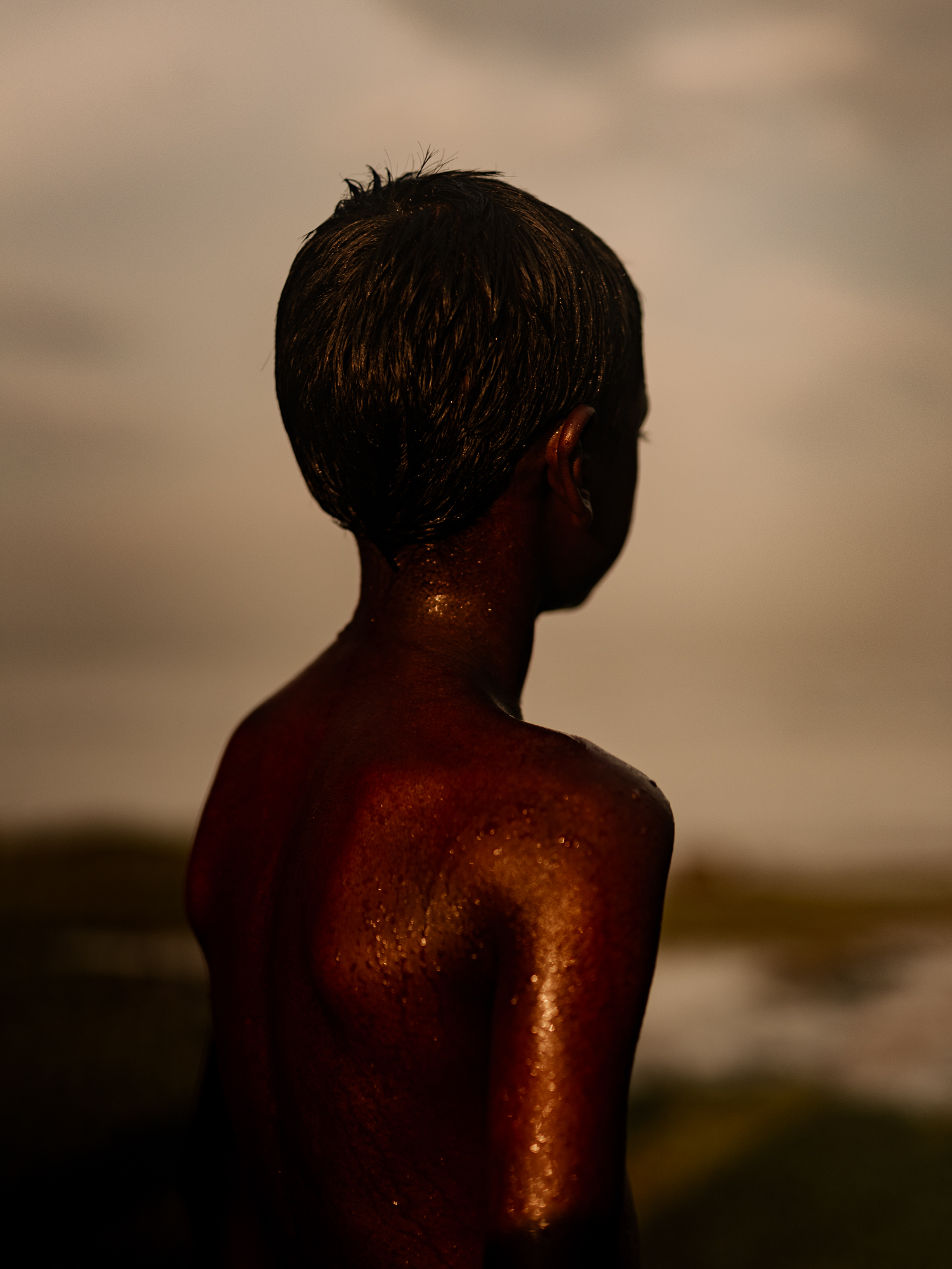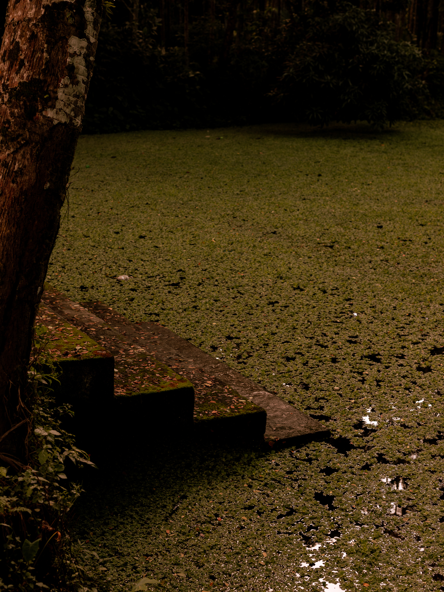
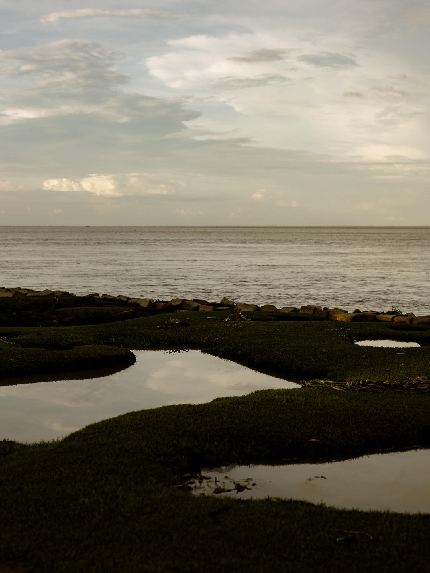
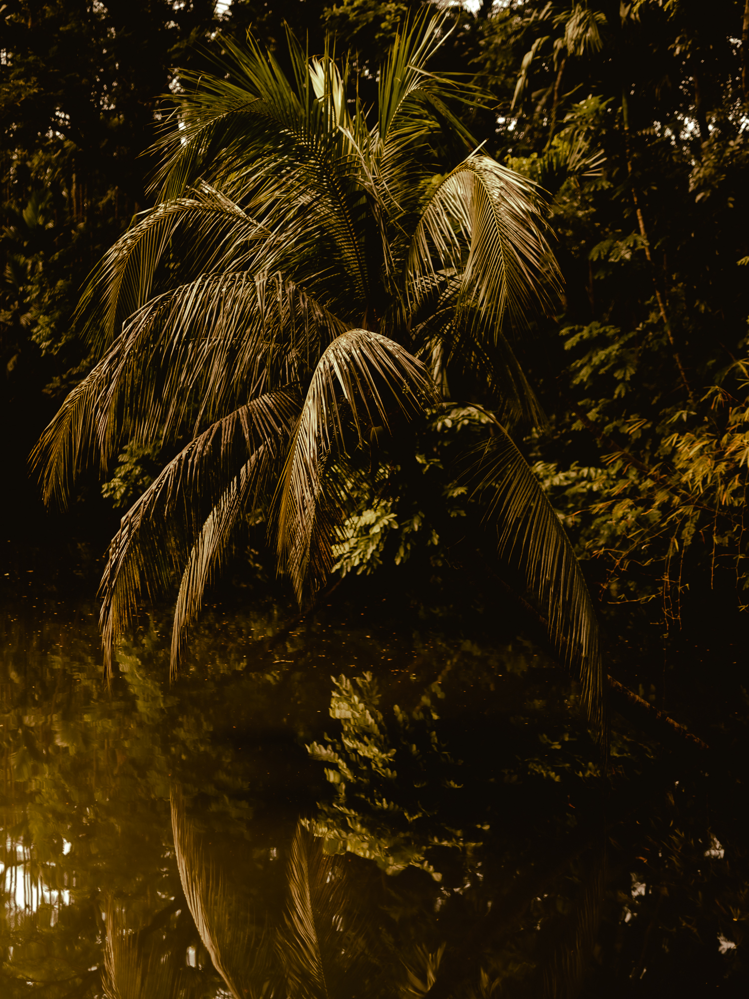
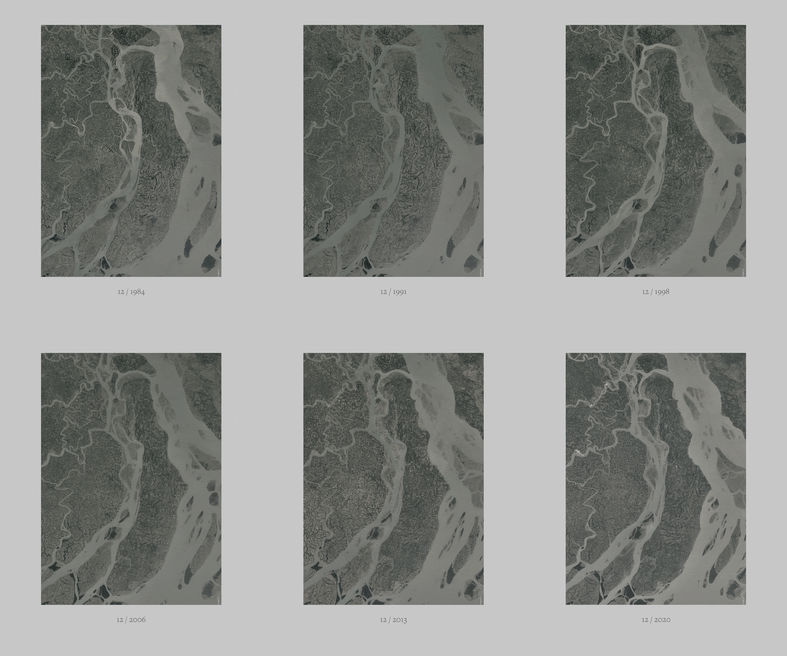
Chars are islands in the riverine of the Meghna delta in Bangladesh.
Formed by the river and sediments from the Himalayan, the biggest chars are not older than 270 years.
Bhola is the biggest char in Bangladesh and inhabits more than 1.5mil people.
Situated in the Bay of Bengal and in the riverine of the Meghna, Bhola is affected by river tides and erosion as also by tidal flooding. It is changing constantly and very dynamic.
Within the last years, erosion became more dominant due to climate change and construction industries which alter the floating speed of the water masses.
It is easy to visualize the errosion of Bhola by the river Meghna, the archive of satellite imagery documents the change of the world very precisely over the last 30 years. It is evidence of climate change and manmade destruction of natural environment and our own habitat. It is very distant, totally superficial.
The rural community of Daulatkhan is situated in the north east of the island and highly affected by the erosion caused by the river Meghna. But there are more currents affecting Daulatkhan, less obvious, not distant, not carthographed by any satellite.

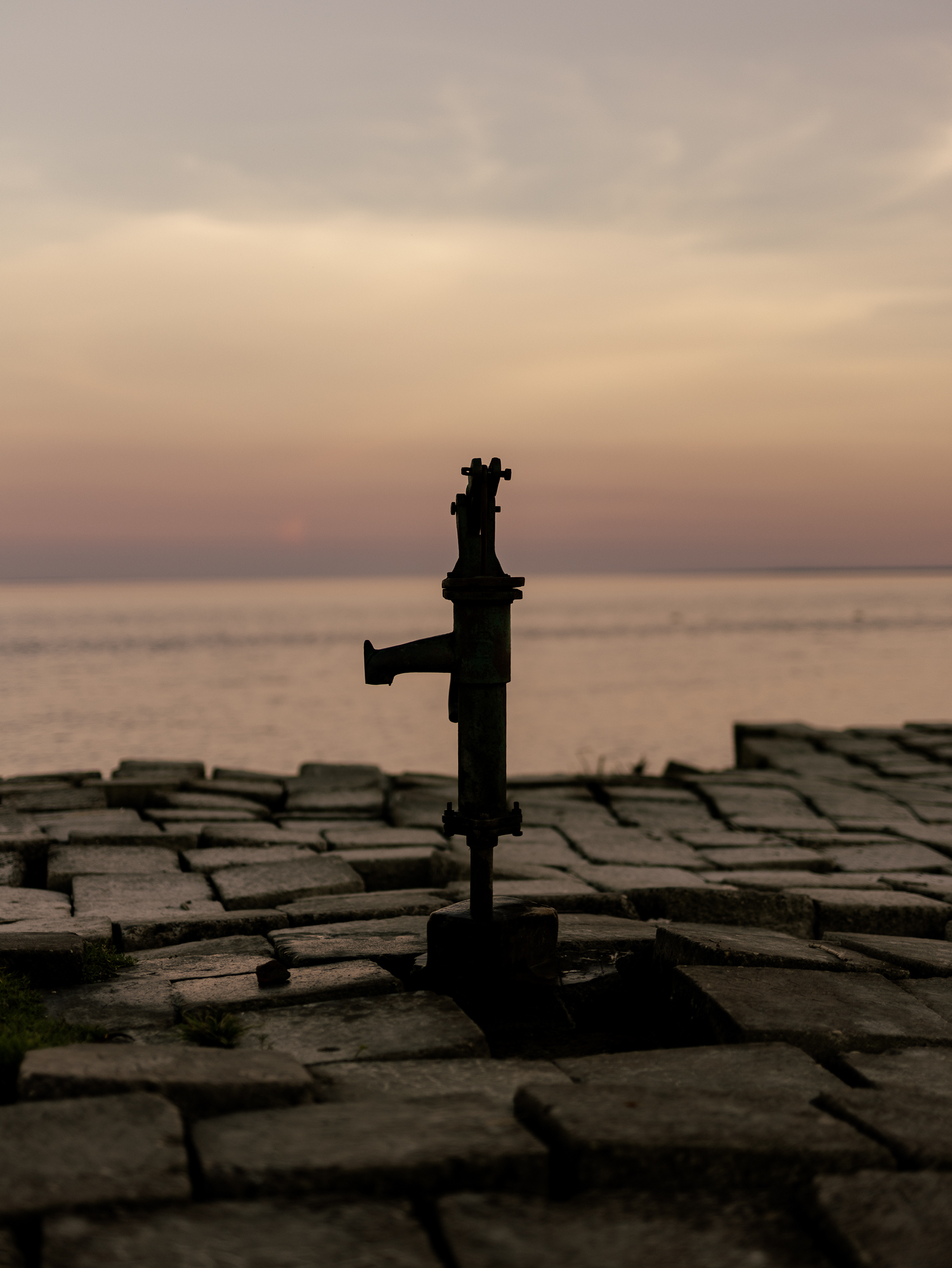

There are currents eroding the social structure, culture and tradition. There is erosion of identity caused by religous conversative currents, political decisions, the financial flood of foreign investments and the stream of migration towards Dhaka, the capital of Bangladesh.


The project 'the hungry river' is a more poetic than documentary approach of finding evidence for and traces of this subtile erosion of identity and a sense of the fragility of this identity in a remote and rural communities like Daulatkhan.


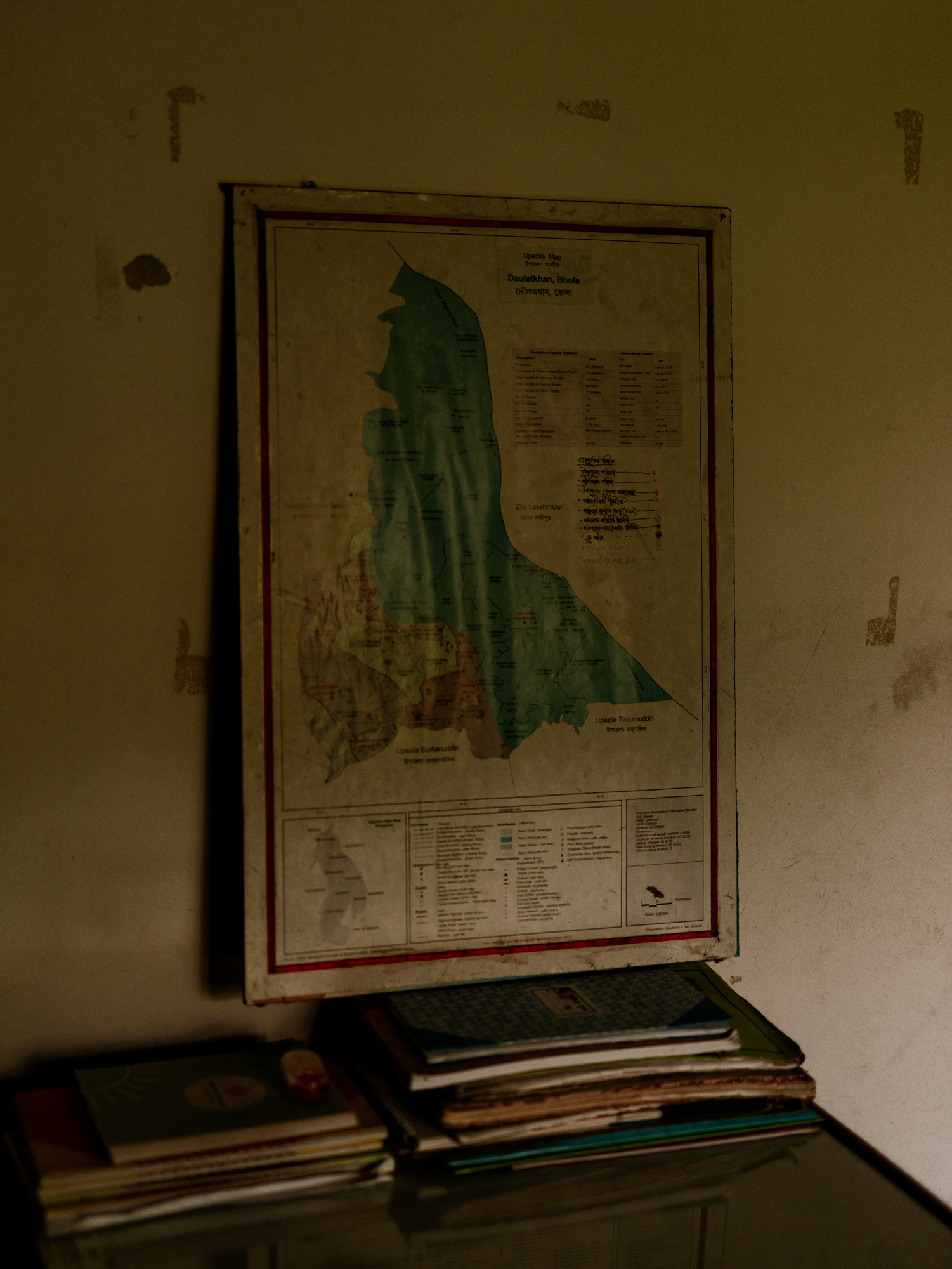
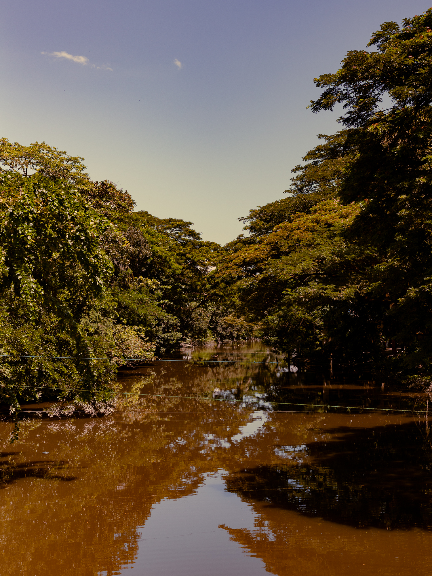
The fragility of rural and remote communities and social structures seem to be more fragile than urban societies all around the world. Daulatkan is just an example and might be just the beginning of an archive on the fragility of heritage in our world.
